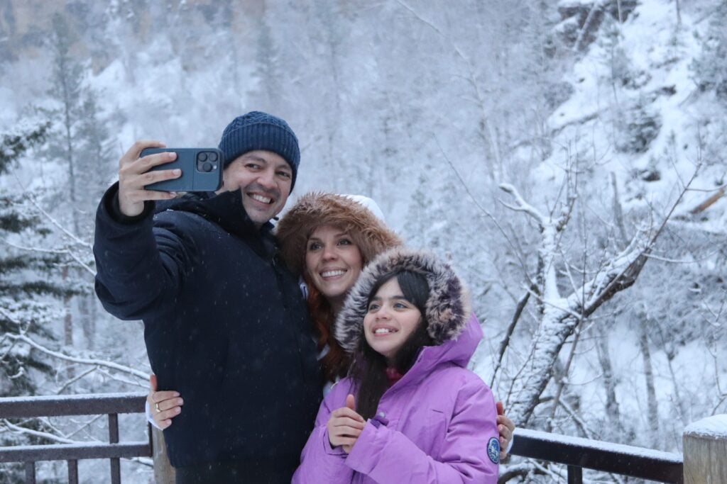


The Black Hills (Paha Sapa)
Roaring out of the Earth in the Great Plains of South Dakota are the magnificent Black Hills. Over 60 million years ago, through a significant uplift, the Black Hills rose high above the land, but their creation began deep within Mother Earth. Their origin dates back to the Precambrian Period, some 2 billion years ago.
At one point, the Black Hills are estimated to have reached 15,000 feet above sea level. Now, after millions of years of erosion, the highest point, Black Elk Peak, reaches 7,242 feet. Although half the original size, the Black Hills are still the highest point east of the Rockies and west of the Swiss Alps. Most of the Black Hills are composed of granite, along with quartz, feldspar, and mica. Wandering through the area, you’ll notice the ground glitters as if being surrounded by jewels in every direction.
The Native Americans of this region called this mountain range Paha Sapa, meaning The Heart of All Things. This was and remains a sacred area for many, including the Lakota Tribe. The Lakota are made up of seven bands or tribes. These are the Sichangu, Brule, Oglala, Itazipcho, Miniconjou, and Sihasapa. The Black Hills are considered a part of their origin story, with the rights of ownership in dispute to this day.
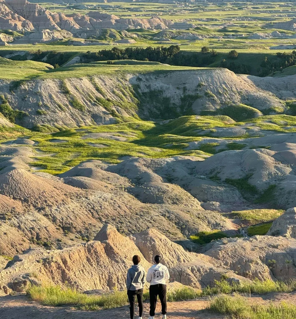
Significant points of interest for visitors to this area are the Cathedral Spires, Mount Rushmore, Custer State Park, Iron Mountain Road, Needles Highway, Sylvan Lake, Crazy Horse Memorial, and further to the East, Badlands National Park. This area is popular with nature enthusiasts, rock climbers, sightseers, hikers, horseback riders, and many more.
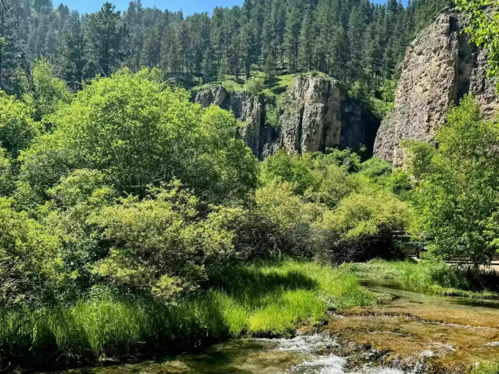
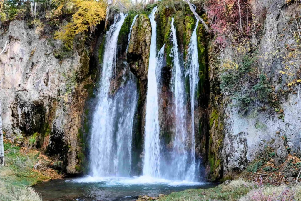
The mountain range is 110 miles long and 60 miles wide, generally divided into two areas: the Northern and Southern Black Hills. In the Northern Black Hills, you’ll find majestic Spearfish Canyon, filled with hiking trails, waterfalls, the nearby Wild West City of Deadwood, and one of my personal favorites, Pathways Spiritual Sanctuary. In my experience, the Northern Black Hills plays second fiddle to the Cental and Southern Black Hills in tourism, but this shouldn’t be the case. The Northern Black Hills are a place of beauty, healing, history, and recreation.
The Southern Black Hills are very special for several reasons. Generally, when people think of the Black Hills of South Dakota, they conjure up images of Mount Rushmore, with the faces of four great Presidents, Washington, Jefferson, Roosevelt, and Lincoln. This is certainly quite an accomplishment and a beautiful work of art.
There is a great visitors center with a short film, and an exhibition hall documenting the idea, construction, and impact the monument had on the area. Doane Robinson and Gutzon Borglum set out to create a memorial that would inspire the nation, and more importantly, bring much-needed tourism dollars to the region. They succeeded, and now over 2 million people visit Mount Rushmore each year.
While Mount Rushmore stirs pride and patriotism in many, Native Americans in this area feel differently when gazing upon the monument. For them and others, it is viewed as a desecration of a sacred mountain. Mount Rushmore was named after an East Coast attorney sent here to survey mining claims.
Those he asked had no idea of the name of the mountain, so it was named after him, Charles E. Rushmore. Before this, the hill was known to the Lakota as Tunkasila Sakpe Paha, or Six Grandfathers Mountain. The Six Grandfathers are North, South, East, West, Above, and Below. This was a place the Lakota came to pray, carry out ceremonies, and considered the center of the universe.
Protests, petitions, altering the mountain, and disputes over the land continue into the foreseeable future. I believe we understand as much as possible, on both sides, the history of this special place.
If you visit Mount Rushmore, you can’t miss the drive on Iron Mountain Road. Construction of this road was meant to complement the mountain, cause as little disruption to nature as possible, offer spectacular views, and provide a playground for automobiles. Iron Mountain Road winds through forests and tunnels that, when viewed from above, align perfectly with Mount Rushmore, offering great photo opportunities. The road covers 17 miles and features 314 curves, 14 switchbacks, 3 pigtails, 3 tunnels, and two spits. It runs from Mount Rushmore and terminates near Custer State Park.
Please take a look at our Newly Released and Updated Tours of the Black Hills and Badlands.